Live
Routing for Norwegian roads
Our own routing engine on our own road network from NVDB. Ferries, tolls and mountain passes are included in the travel time.
Navigation and geodata, built in Norway
Norwegian roads have ferries, toll stations, mountain passes and tunnels with height limits. International map services treat them as details. We treat them as the journey itself.
The platform
Our apps talk to the same API. We own the road network and the routing behind it, and we are opening it up to businesses and assistants.
Our own routing engine on our own road network from NVDB. Ferries, tolls and mountain passes are included in the travel time.
Roads, ferry routes and place names as a transparent layer over your aerial or satellite imagery.
Connect your assistant to Viti Geo, plan the trip in the conversation and send it to your Vegferd account.
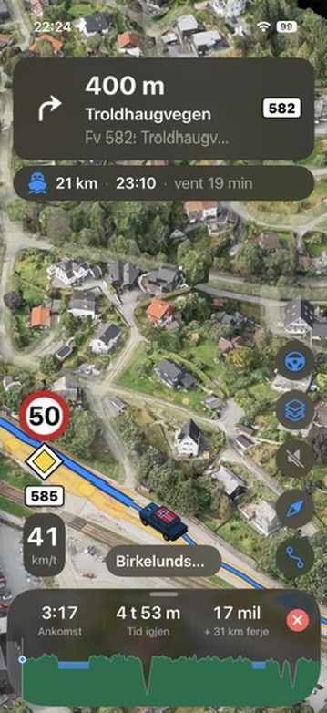
Vegferd
Connect ChatGPT or another assistant to Viti Geo. You get the route, the ferries, the toll stations and the road conditions, with a time and a source on every answer. When the plan is ready, you send it to Vegferd.
I'm driving an EV from Bergen to Stavanger on Friday. Which ferries will I take, and what will the trip cost?
// Sketch — the MCP interface is not built yet
plan_journey({ from: "Bergen", to: "Stavanger", vehicle: "ev" })
→ arrival time, ferry legs with departures, tolls and tickets in NOK
  source: "Viti Geo · Entur · Statens vegvesen"

send_to_app({ journey_id: "…" })
→ Saved in Vegferd under Planned trips
The data
We refine the data into one road network and one routing engine. 17 sources have a verified licence, and are credited wherever their data is shown. See all data sources and licences
Routing, map layers or AI access: we are setting up early access together with our first customers.